Free · Offline · Bulgaria
Get to know Bulgaria,
Get to know Bulgaria,
one trail at a time.one trail at a time.
Before you go — see snow, water and hazards from people on the trail. Offline map in your pocket. Challenges that pull you outside.
0
report types
0
sites + more
offline
topo maps
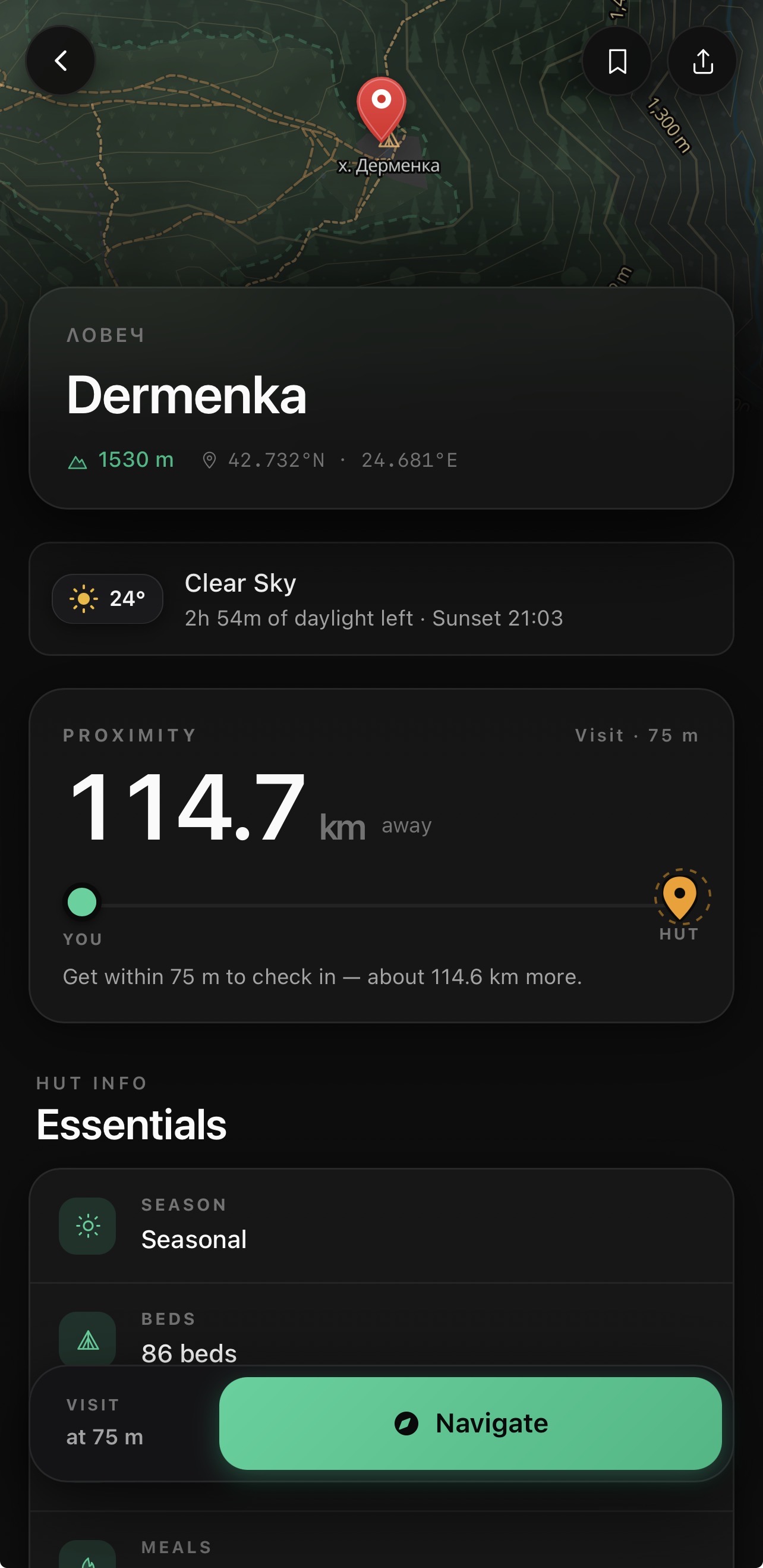
altitude
2925m
NW
compass
🏔️
+482m
ascent
Offline
Free·No ads·Bulgaria·Works offline
Sofia·Rila·Pirin·Vitosha·Rhodopes·Black Sea
// Why Vodach
See what is happening on the ground in real time.
Live trail reports
Bears, dry springs, snow, missing marks — with a shelf life and confirmations from people on site.
Offline topo maps
Contours and real relief with no signal. Download once — walk with confidence.
Challenges
The 100 national sites — plus peaks, regions, badges. Always a next goal.
Real routes
Distance, time, climb, difficulty. Pick one and start when you are nearby.
Region by region
Every kilometer leaves a mark. Cover Bulgaria step by step.
Hike journal
GPS track, altitude, time and photos — the hike stays with you.
// Trail reports
The trail talks.
Not a forum from last year — a live picture of the ground. People post what they see now. You confirm when you walk past.
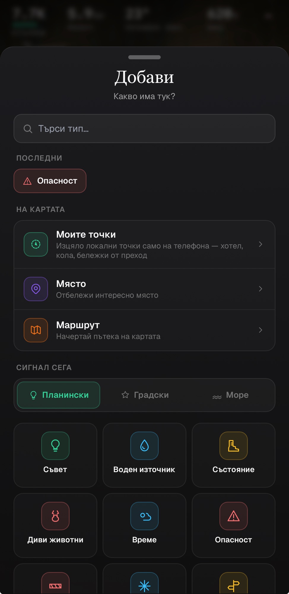
18 report types
Hazards, closures, wildlife, water, snow, weather — mountains, city and coast.
They expire on time
Every report has a shelf life. Stale intel fades — you only see what still matters.
Confirmed on site
Next to a report — confirm it or mark it gone. Trust from eyes on the trail.
🐻
Bear with cubs near the trail
2 h ago · Vitosha
⏳ expires in 22 h
💧
The spring by the hut is running
40 min ago · Rila
3 confirmations
🧭
Missing markings past the ridge
yesterday · Stara Planina
confirm on site
// The map
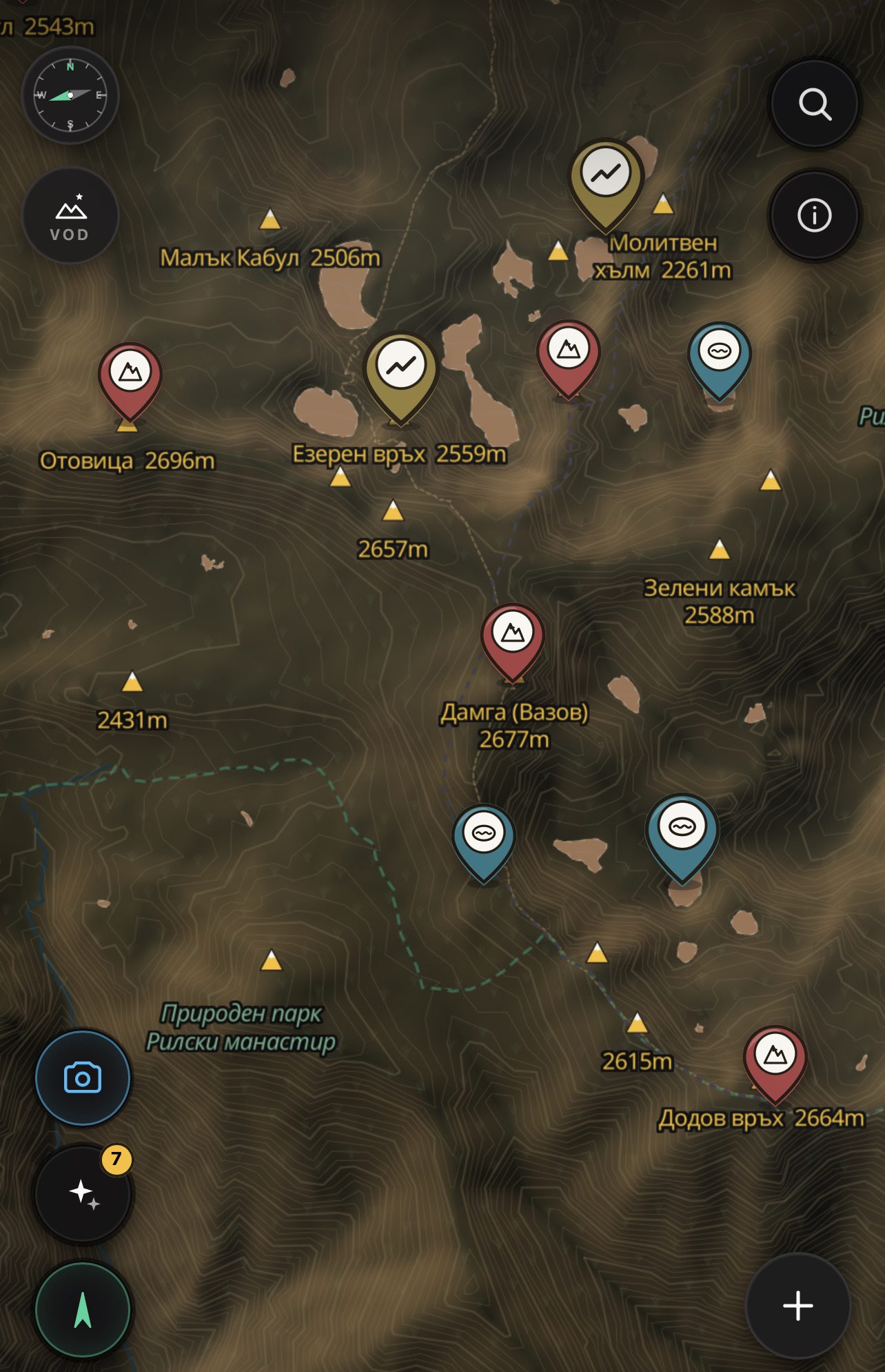
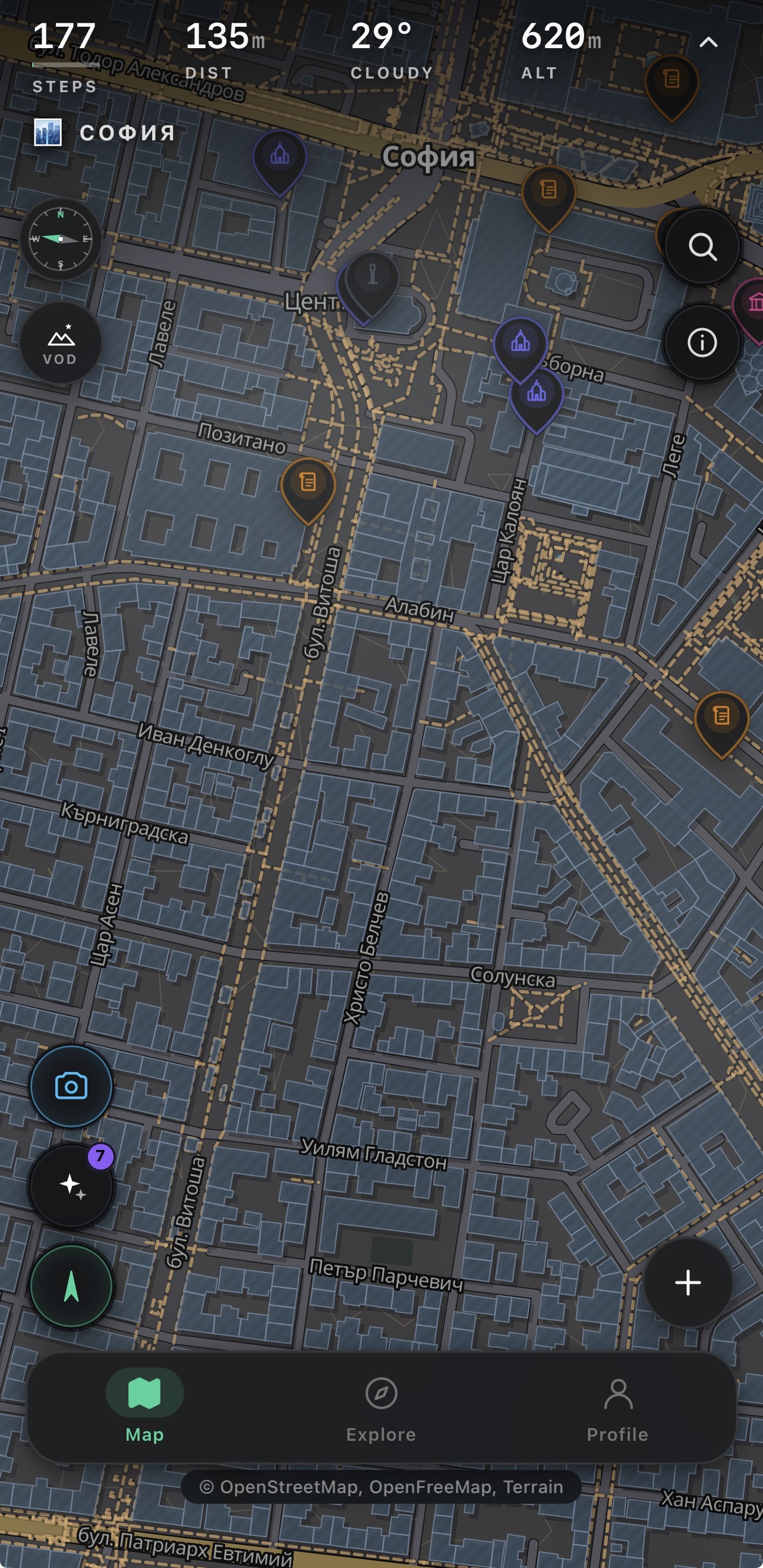
Signal ends. The map doesn't.
From Vihren to Sofia — one clear map, even at 2900 m with no signal.
Relief, contours, peaks
See the climb before you leave.
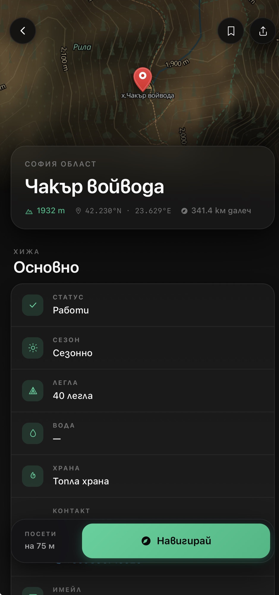
Huts, springs, views
What is on the way — in one place.
Compass and altitude
Bearings in seconds, wherever you stand.
// Routes
Ready hikes. No endless research.
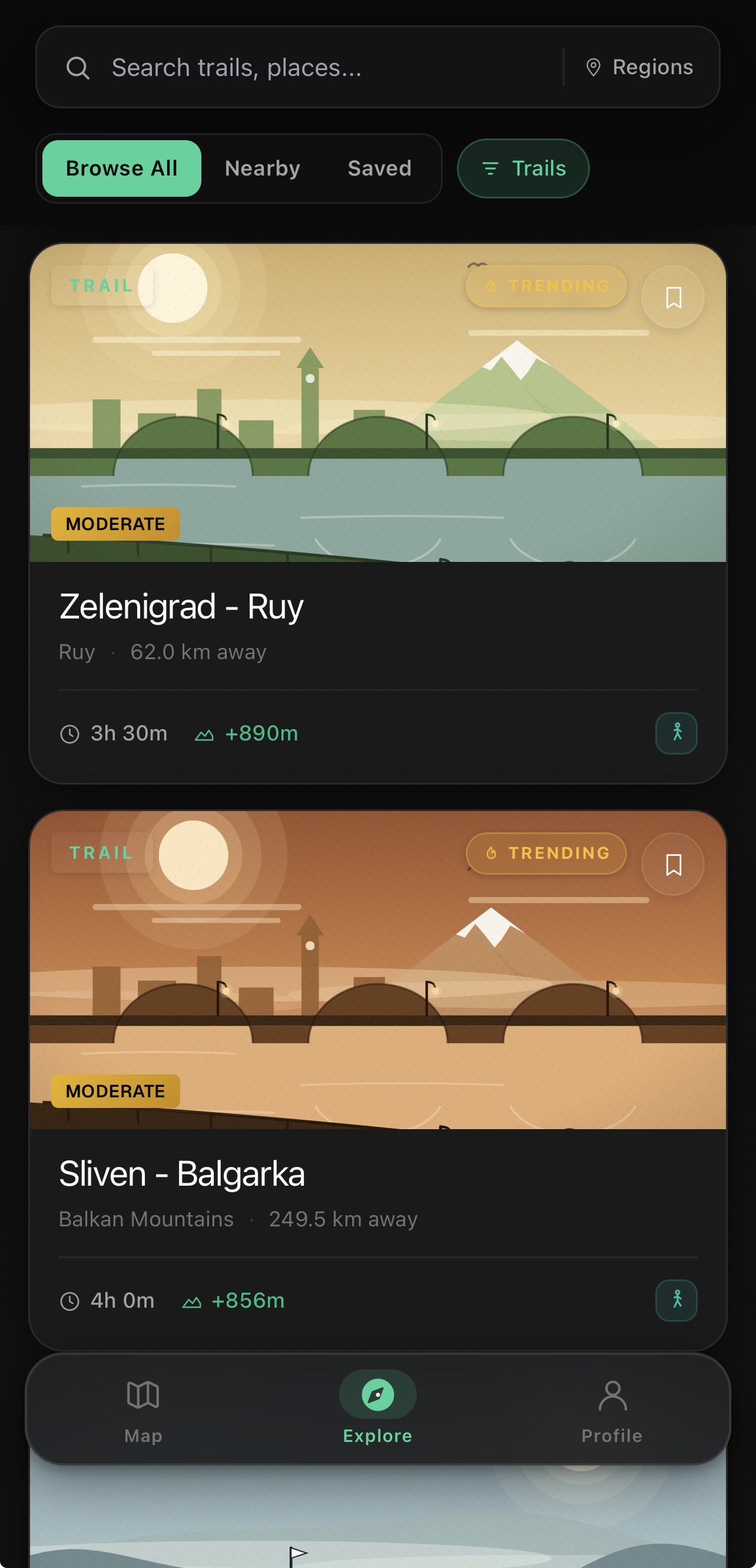
Nearby, by region or saved. Difficulty, time and climb — then just hit Start.
8.5 km
Moderate
+482 m
1h 30m
100 NTO + more
🔖
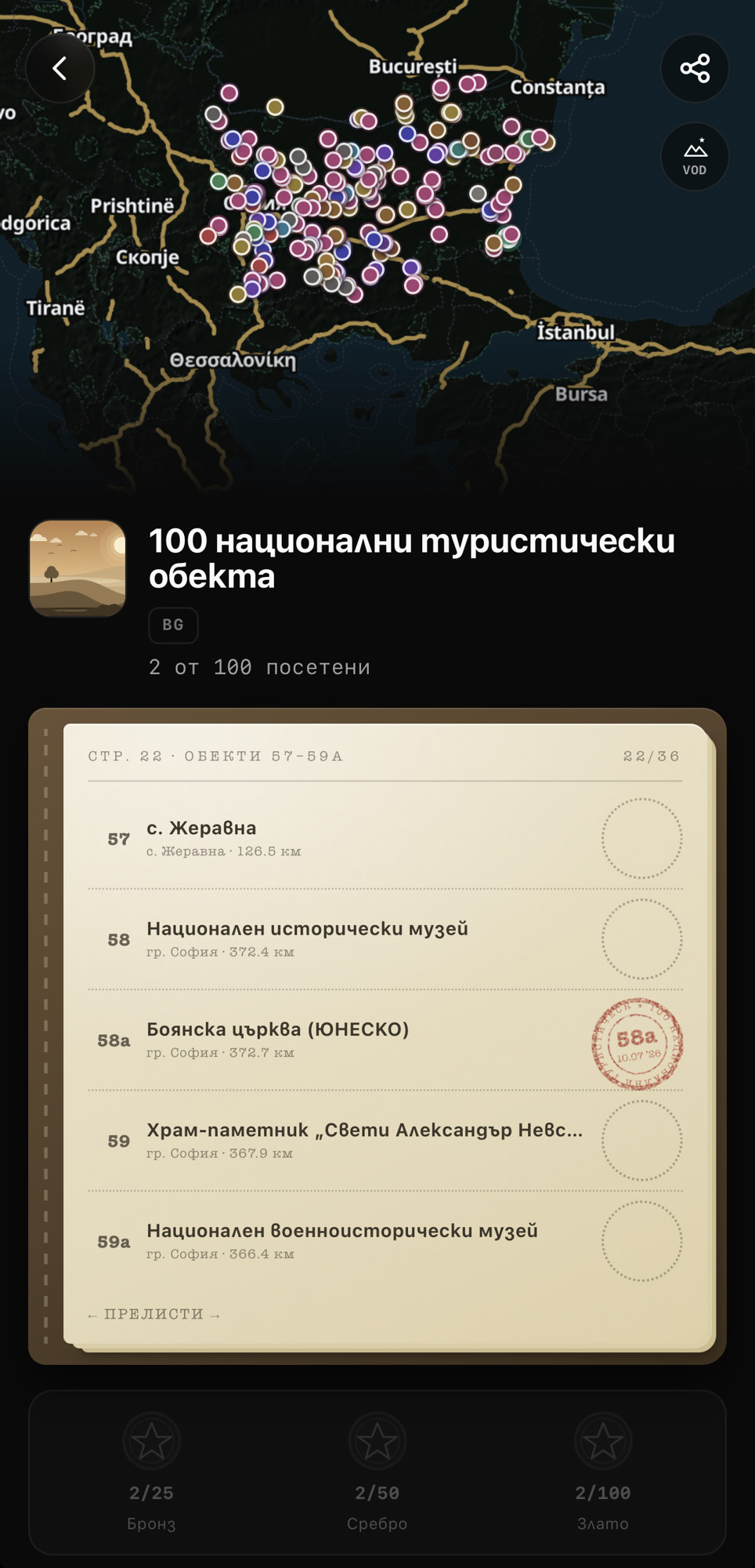
2 / 100
stamps
// Challenges
The 100 national sites — and plenty more.
Stamp the 100 NTO when you are there. Plus peaks, regions and badges — always a next goal.
100
national sites
3
medals
∞
more goals
captured territory
start / finish
+2.4 hectares
+72 XP
Conquered: 4.1%
// Territory
Close the loop. Claim the land.
When your GPS track closes, the land inside is yours. Circle, return — the map takes color.
Draw the border
Your track is the border — every closed loop is new ground.
Conquered %
A second dimension of progress: how much of the region you have enclosed on foot.
// Progress
Every hike leaves a mark.
Points, levels, badges, regions — progress that still matters when you are alone on the trail.
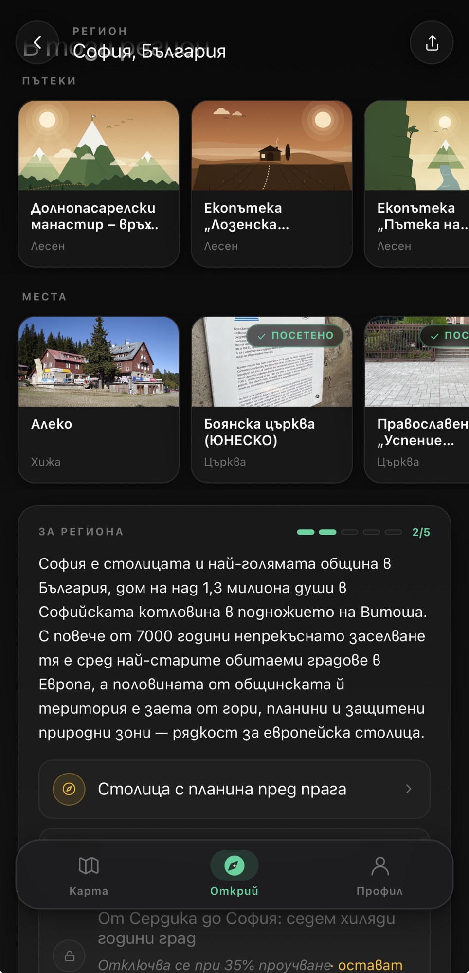
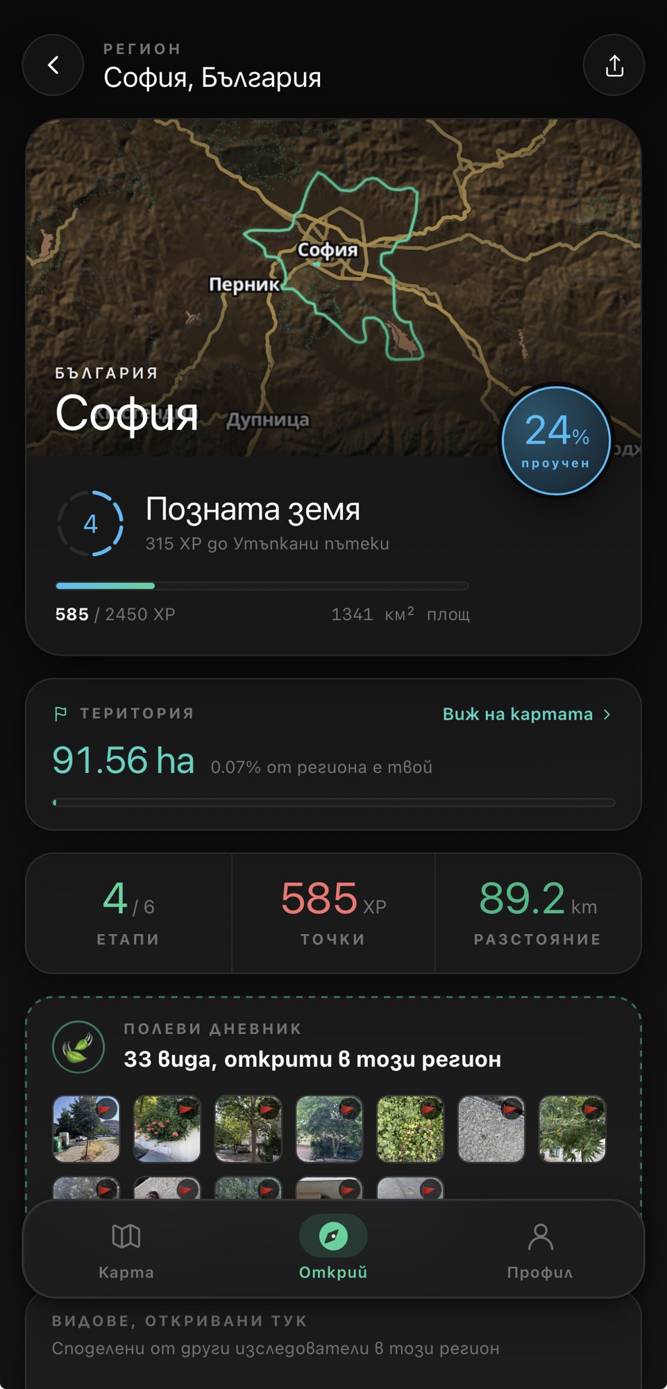
Region · Sofia
3%
explored
stages3/6
points85 XP
dist.24.3 km
One region at a time
The percentage grows with every kilometer.
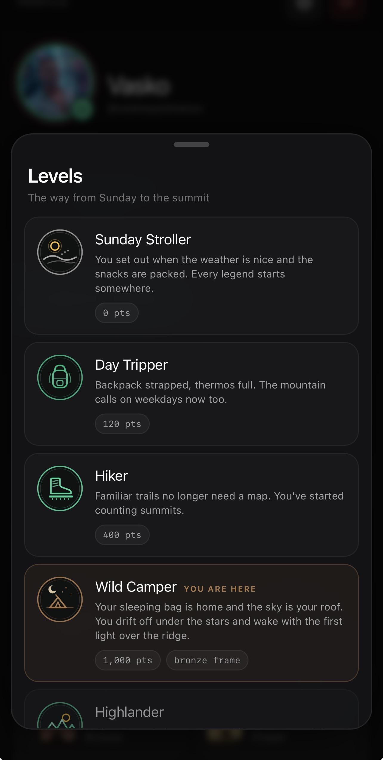
Levels
Level up as you go
Tourist · Stargazer · Mountaineer · Guide.
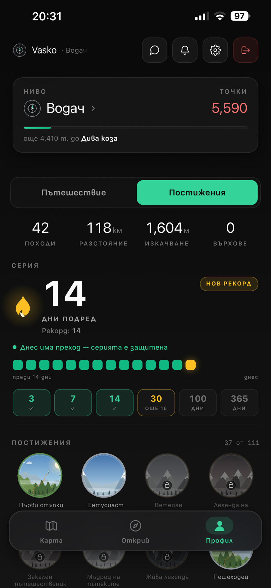
Achievements
23 / 97
Badge collection
Golden Hour, Night Owl, Salty Air and more.
// Field journal
Snap. Identify. Log it.
Plant, bird, insect — photo, ID, into your journal. A collection that grows with every outing.
AI species ID
Scientific names and field cards in Bulgarian and English.
Expedition archive
Species, sightings and regions — like a real field log.
Rare finds
Notes and badges for what you actually saw in the field.
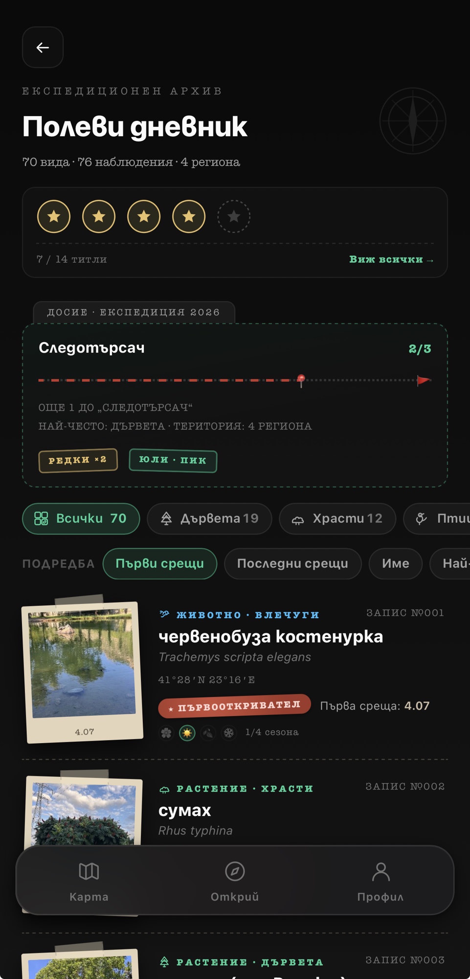
70 species
in the journal
Rare ×2
this expedition
// Moments
Moments from the hike — yours alone.
A ridge shot, the people beside you, a small detail on the trail. A private album of the outing — on your phone until you decide otherwise.
A private hike album
Every moment with place and time — along the route and in the hike details.
You choose what leaves
Share the one frame you want. The rest stays with you.
If you share — only for a while
A day, a week or a month on the map — then it drops off. No name attached.
Moments from the hike
On your phone
until you share
Yours only
on device
Share
if you want
// How it works
Three steps. Then the trail.
01
See the ground
Reports, routes and sites nearby — before you leave and while you walk.
02
Go offline
Map without internet. GPS track, altitude and time as you move.
03
Leave a mark
Report, confirm, stamp a site — every outing means something.
Bulgaria is out there. Vodach too.
Live trail reports, offline maps, and a stack of challenges wait for you in the Vodach app.